Wirral's Hidden History Revealed
Wirral’s Farms and Fields

Yes, we take them for granted, barely giving them a second glance as we whizz along in our motor cars. Grazing cows, bleating sheep and a few areas of ploughed earth constrained by overgrown hedges. They’re just fields. We may catch a glimpse of a footpath sign even a farmhouse or too and that’s it. Forgotten. Ignored. Neglected. But as good historians should we not be asking ourselves, why? Why are those fields there?
The Wirral Shore

Miles of golden sand fringe the Wirral Peninsula where it meets the Irish Sea. For the unwary, there are treacherous mud banks and unexpectedly deep channels. The Dee estuary embraces three small islands – Hilbre, Middle Eye and Little Eye all with their own place in history.
The Egremont Bloomery

Where is the Egremont Bloomery? In Egremont – on the Wirral bank of the River Mersey, sandwiched between New Brighton and Leasowe. Not the one in Cumbria!
What is a bloomery?
A bloomery is the earliest form of iron smelter. It produces a porous mass of iron and slag called a bloom which is consolidated and further forged into wrought iron.
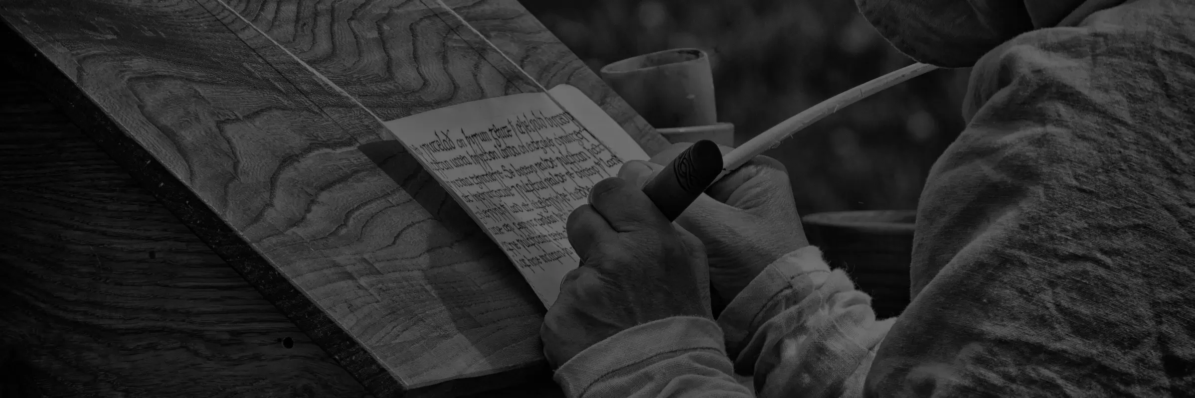
The Search for the Battle of Brunanburh.

This forgotten battle is regarded by most historians as the event that created the English nation; but where is took place has been lost for centuries. There have been many attempts to locate the battlefield, but these have been based on trying to interpret a few clues and information taken from manuscripts written sometimes hundreds of years later. None of them have been able to firmly place the symbol of crossed swords on a map to show where the battle was.
The boat beneath the car park

n 1938 the remains of a clinker-built boat were unearthed by workmen digging the foundations of the new Railway pub in Meols. It was described as “an ancient ship built in the Nordic clinker (overlapping planks) style buried twelve feet down and covered in a layer of blue clay”. As they were on a tight schedule to get the new pub open, the workmen were told to keep quiet and cover it up.
Wirrals Roman Roads.

The Roman Roads Research Association, the UK’S premier body that trace, research and verify Britain’s Roman roads, state that they have found no evidence for any Roman roads per say on the Wirral.
It does not mean that there were no Roman roads on the Wirral, but currently no evidence has come to light which can categorically prove the existence of one.
Members of Wirral Archaeology are still searching for such evidence.